Address
304 North Cardinal St.
Dorchester Center, MA 02124
Work Hours
Monday to Friday: 7AM - 7PM
Weekend: 10AM - 5PM

Address
304 North Cardinal St.
Dorchester Center, MA 02124
Work Hours
Monday to Friday: 7AM - 7PM
Weekend: 10AM - 5PM
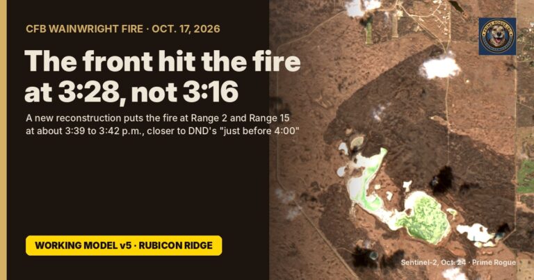
Rubicon Ridge: a new reconstruction moves the CFB Wainwright fire’s timeline 12 minutes later Kevin J.S. Duska Jr. | Prime Rogue Inc. | Calgary, AB | November 6, 2026 Weather stations around the base put the wind shift over the…
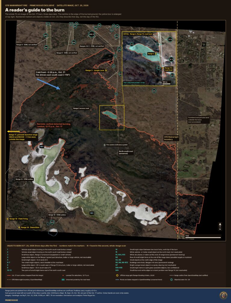
A Reader’s guide to the CFB Wainwright Fire: Map; Ranges; Garrison Kevin J.S. Duska Jr. | Prime Rogue/The Signal Cage | October 31, 2026 | Calgary, AB Our 70 cm satellite image of the Oct. 17 burn, labelled. It shows…
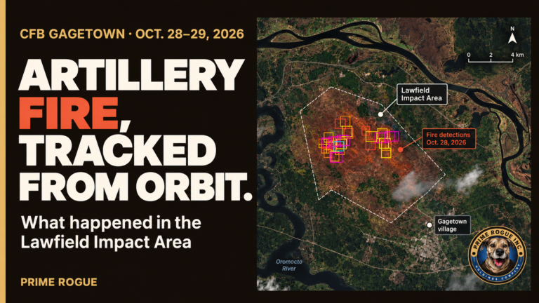
CFB Gagetown fire: artillery set the training area burning, and satellites watched it for two days By Kevin J.S. Duska Jr. · Prime Rogue Inc. · Oct. 30, 2026 · Calgary, AB A fire started by artillery shooting into the…
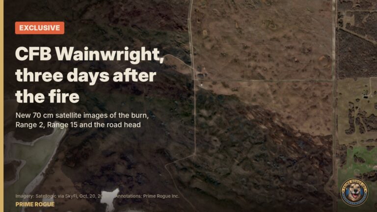
Exclusive: CFB Wainwright Satellite Satellite Images Show The CFB Wainwright Pairs Range After The Fire New 70 cm satellite images, taken three days after the Oct. 17 fire, show what burned around the likely pairs range, where the fire was…

